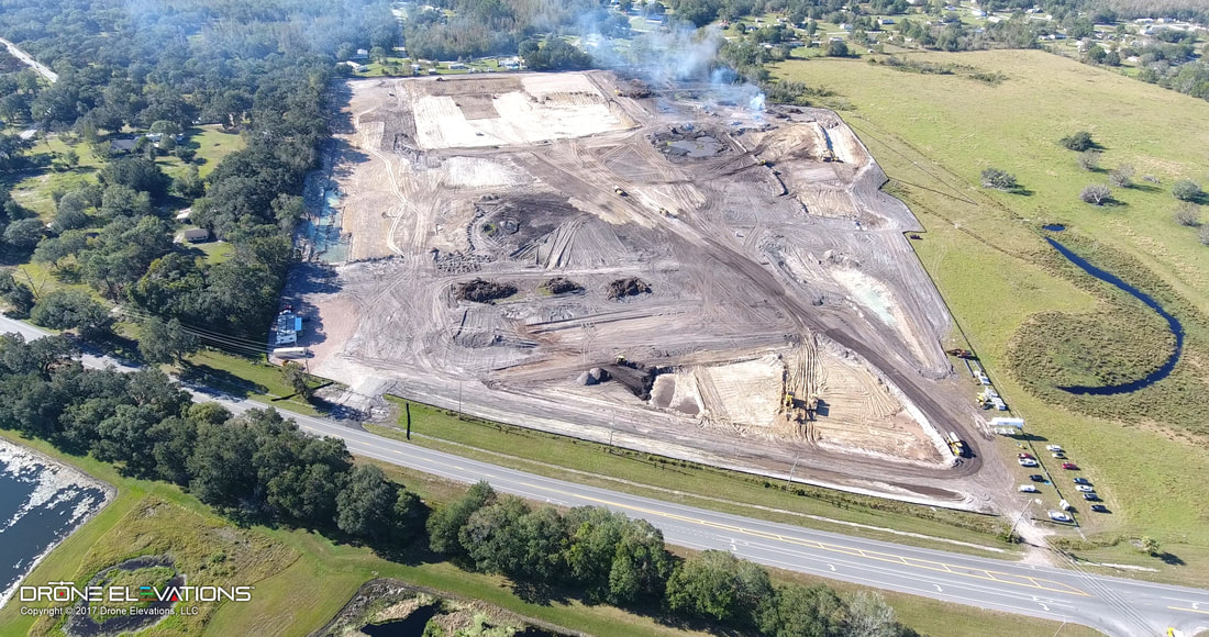
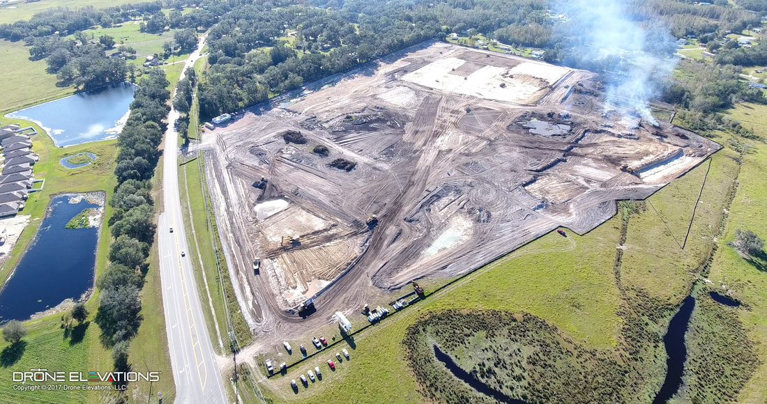
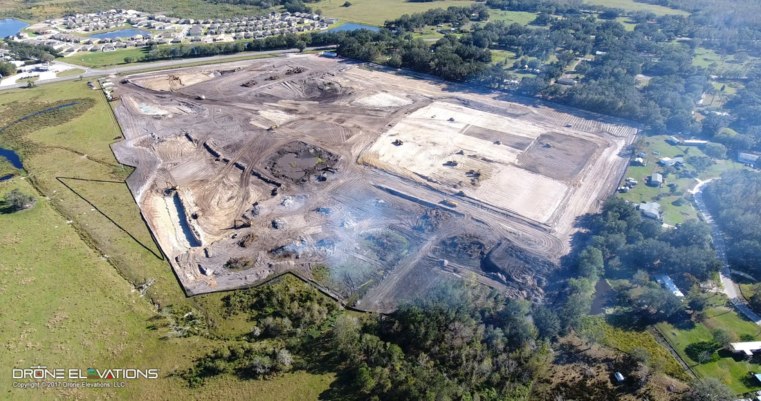
Aerial Site Intelligence for Surveying & Construction
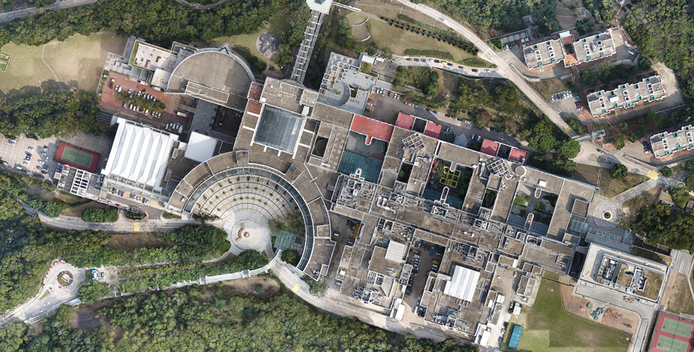
From pre construction quoting all the way to completion. With Deploy Air you can Measure, Monitor and manage projects with UAS data:
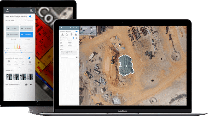
Turn Aerial Images
Into Business Insights
- Understand what’s happening and make better decision with drone data
- Simplify pre-construction site planning and design
- Track and communicate progress at any stage
Survey Accurately
in Real Time
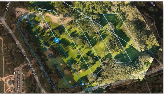
- Monitor progress and situational safety with Live Map
- Inspect your entire location without internet or a SD card
- Get actionable, on-site data with a mobile device
- Proactively address risks without walking in dangerous zones
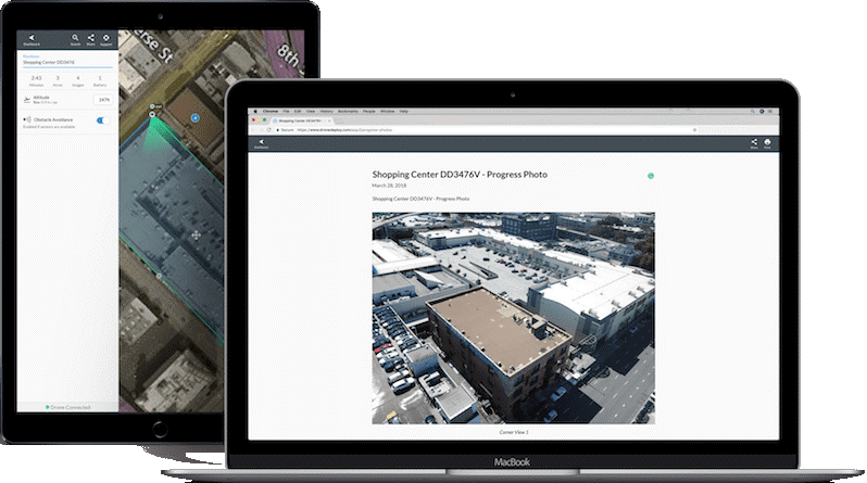
Keep Projects On Track
with Progress Photos
- Create, document, and share a visual timeline with stakeholders using Progress Photos
- File all drone data in a single, easy-to-use platform
- Detect and correct plan defects and deviations
- Streamline decision making with visual context of site conditions
Collect and Calibrate
Site Development
- View, measure, and export drone data at any point in the project life cycle
- Evaluate site conditions with built-in measurement tools
- Compare actual conditions to pre-construction designs
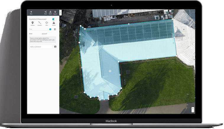
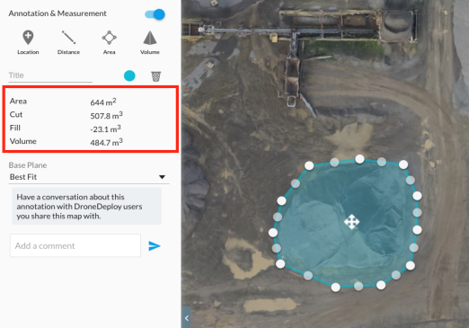
Volumetric Calculations
- Using Point Cloud Modeling, Deploy Air can capture millions of elevation points to measure your site with total accuracy
- Use precise measuring and volumetric calculations to measure stockpiles.
- Instant real-time measurements including distance, area and volume.

