Automatic Data
Capture
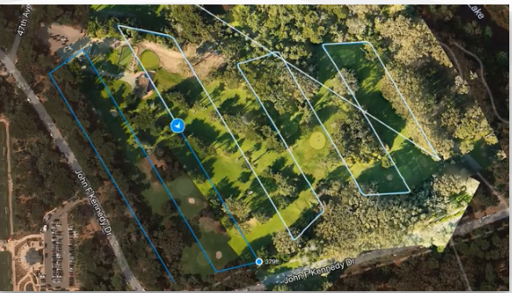
Capture field images and generate maps.
- We flight plan offline and get all airspace approvals
- We Plan flights from the tailgate of your truck
- Gain whole-field insights, while in-flight


Detect Crop
Variability
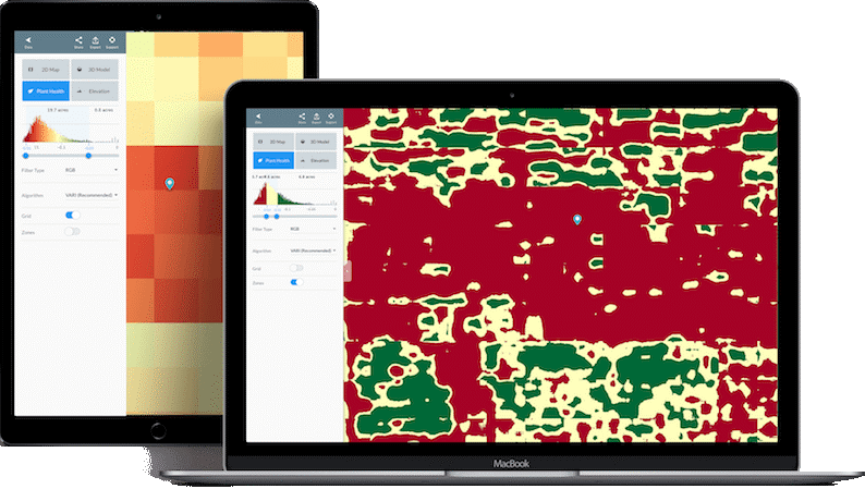
Drive down costs and increase profits by avoiding crop loss.
- Crop scout sections of farmland
- Spot threats with NDVI, VARI, and more
- Take action and monitor prescriptions over time

Real-time, In-Field
Insights
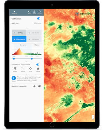
Live Map is the ultimate current-condition crop scouting tool.
- Scout hundreds of acres, while the drone flies
- Spot problems and measure plant health instantly
- Take in-field action to avoid crop loss


Agriculture Image
Processing Engine
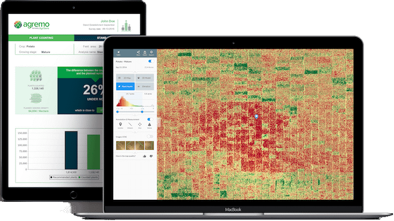
We use software developed with the leading processing algorithm customized for agriculture.
- Stitch crop imagery — even in late stages of growth
- Generate complete, high-quality results
