
Aerial Site Intelligence for Surveying & Construction


From pre construction quoting all the way to completion. With Deploy Air you can Measure, Monitor and manage projects with UAS data:

Instant Insights
Capture data in real time as the drone flies with Live Map.
Fly Safely
Analyze and mitigate risks without walking dangerous areas.
Centralized Platform
Organize all site data for easy sharing and straightforward decisions.
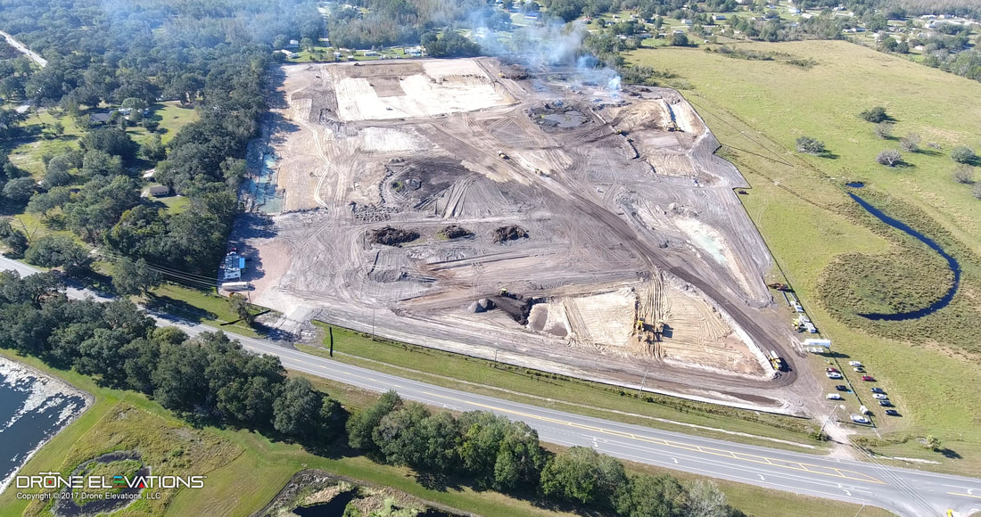
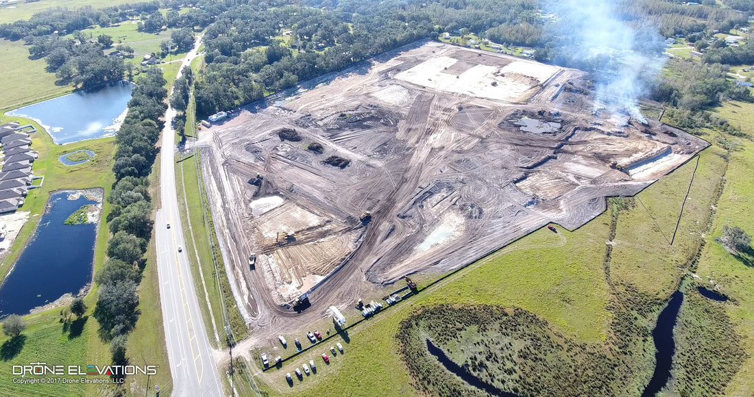
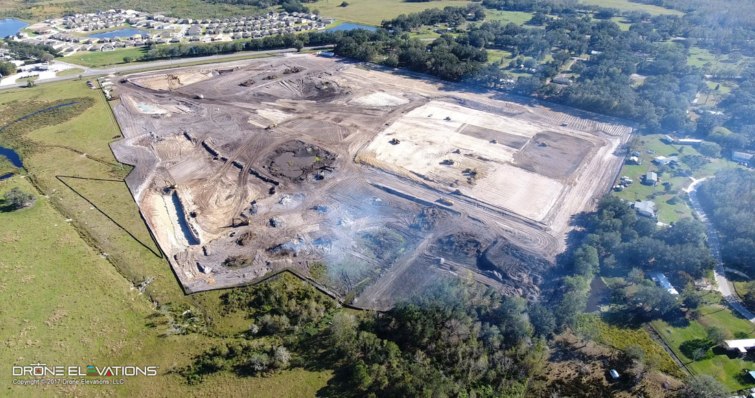
Monitor Progress
Evaluate project health with a visual timeline of a job site.

Turn Aerial Images
Into Business Insights
- Understand what’s happening and make better decision with drone data
- Simplify pre-construction site planning and design
- Track and communicate progress at any stage
Survey Accurately
in Real Time
- Monitor progress and situational safety with Live Map
- Inspect your entire location without internet or a SD card
- Get actionable, on-site data with a mobile device
- Proactively address risks without walking in dangerous zones


Keep Projects On Track
with Progress Photos
- Create, document, and share a visual timeline with stakeholders using Progress Photos
- File all drone data in a single, easy-to-use platform
- Detect and correct plan defects and deviations
- Streamline decision making with visual context of site conditions
Collect and Calibrate
Site Development
- View, measure, and export drone data at any point in the project life cycle
- Evaluate site conditions with built-in measurement tools
- Compare actual conditions to pre-construction designs


Volumetric Calculations
- Using Point Cloud Modeling, Deploy Air can capture millions of elevation points to measure your site with total accuracy
- Use precise measuring and volumetric calculations to measure stockpiles.
- Instant real-time measurements including distance, area and volume.